Environmental Services
GIS, Remote Sensing & Mapping
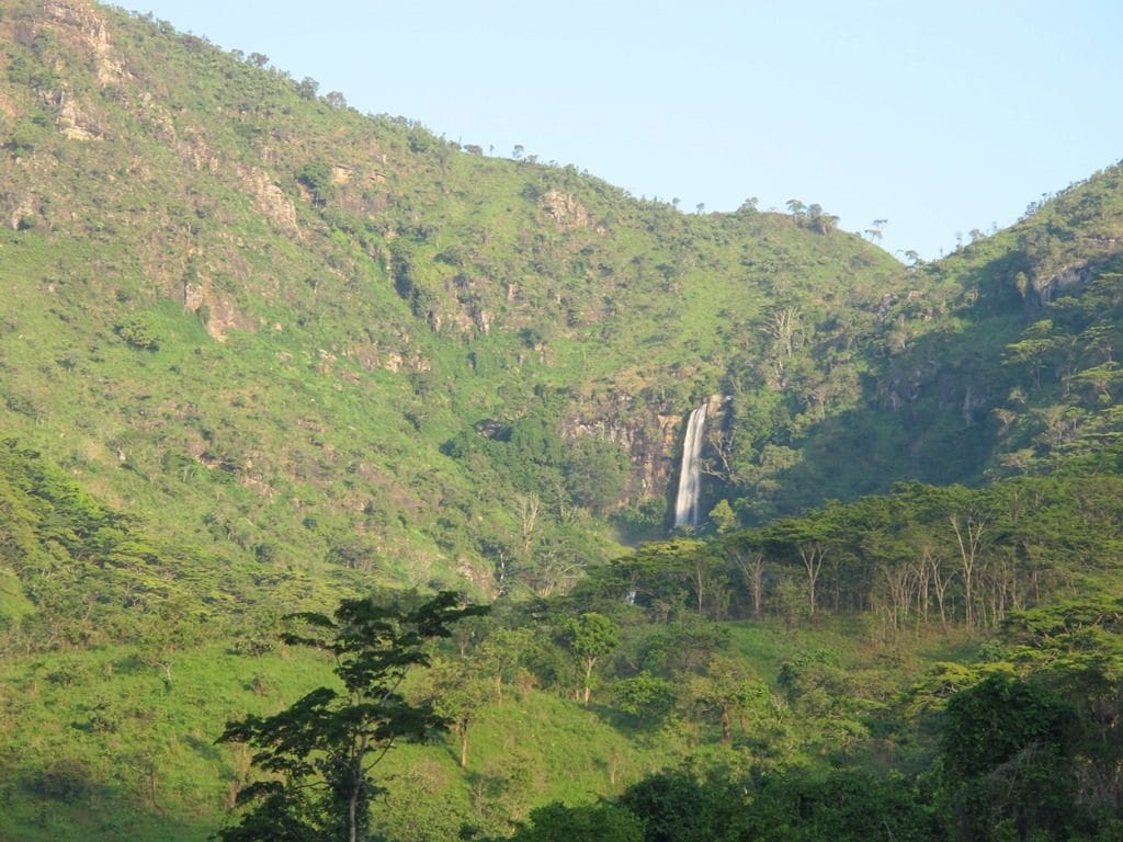
In-house GIS experts producing maps, datasets and 2D/3D visualisations from satellite imagery and field-verified GPS data.
We deliver specialised GIS, Remote Sensing and Mapping services to support assignments that rely heavily on environmental and social data. Our in-house team of experts specialises in procuring, preparing and analysing complex datasets, which lets us produce detailed maps, structured datasets and customised 2D and 3D visualisations to the client's needs.
To give comprehensive geospatial overviews, the team integrates advanced data collection technologies into its workflows. We procure and analyse high-resolution satellite imagery such as Ikonos, WorldView-2 and Quickbird and combine it directly with field-verified GPS location information. By merging satellite images with GIS datasets, we simplify and analyse intricate socio-economic and environmental variables for clear decision-making.
Ready to Start?
Let's Scope Your Project
Our NEMC-registered team will scope your project and prepare a tailored proposal.