
loading
0%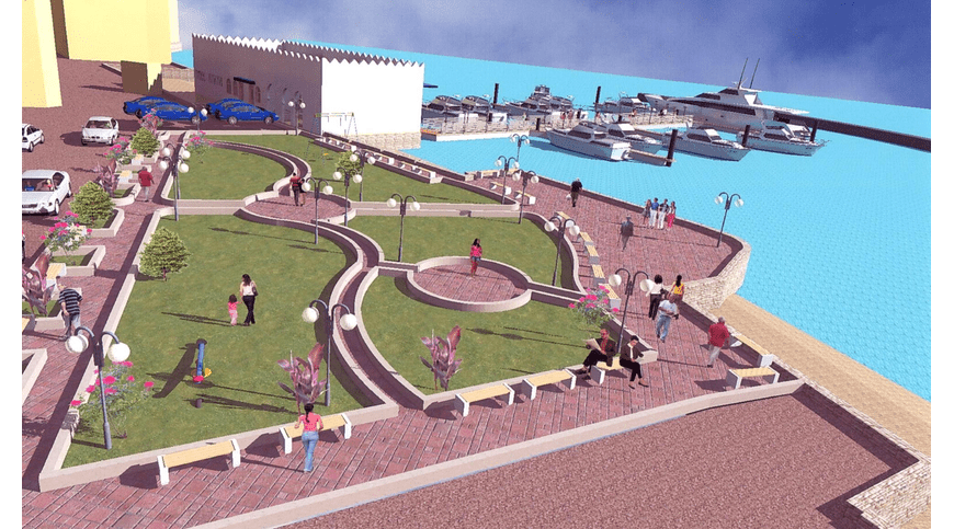
The management and use of environmental and social data is core to many assignments and studies. TRES has a highly capable in-house GIS and Remote Sensing Experts specializing in procuring, preparing, analysing and producing high-quality output such as maps, datasets, customized 2D- and 3D-views etc.
TRES routinely procures, prepares and analyses high-resolution satellite images (typically Ikonos, WorldView-2, Quickbird) which are integrated in GIS systems. GPS recorded location information is combined with GIS datasets and satellite images to provide geo-spatial overview and analyses of complex socio-economic and environmental data.
Search Here
Category List
FAQ

November 28, 2023

November 28, 2023

November 28, 2023